
One mapping foundation, five module maps
Configure a base map, import your own GeoJSON layers, match parcels to properties by roll number, and every module map in the platform reads from the same foundation.
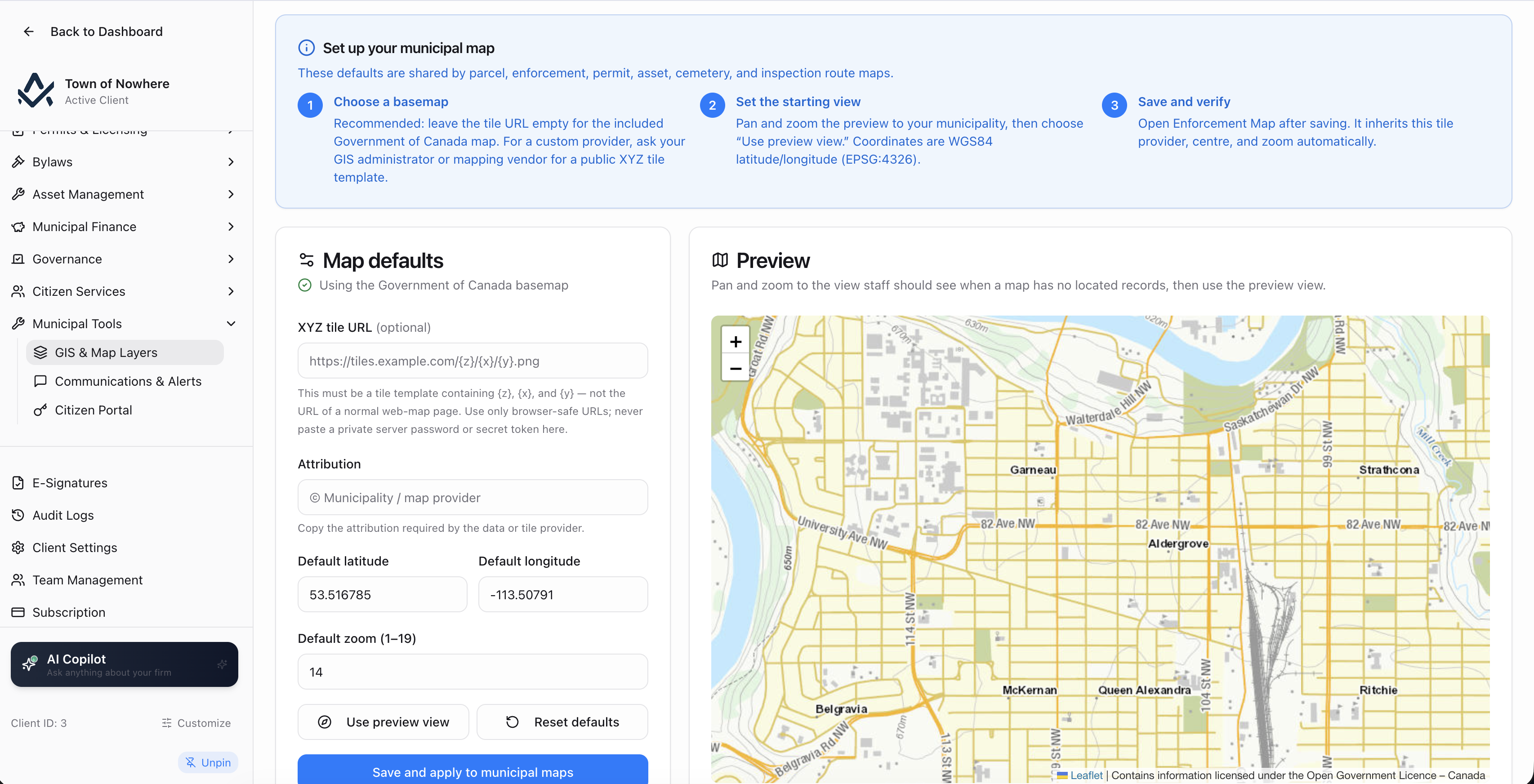
Parcels themed by arrears status, with the utility service overlay switched on.
Maps inside the work, not in a separate system
Configure a base map once, import your GeoJSON layers, match parcels to properties by roll number, and every module map reads from the same foundation. Staff never leave the screen they were already working in.
5
Module maps on one foundation
7
Feature types carrying geometry
4
Layer kinds: parcel, zoning, ward, custom
3
Parcel themes plus a utility overlay
Your own tile service
Point at your provincial ortho or parcel service, or use the free government-hosted Canadian base map that ships as the default.
Parcels matched by roll number
Nominate the GeoJSON field holding the roll number and matching runs against your register, with an unmatched list and a manual link dialog to close the gaps.
Themes that answer questions
Parcels by arrears status, assessment class or exemption with a utility overlay, and the asset network themed by condition or category.
Spatial queries doing real work
Nearest and bounding-box lookups power 311 duplicate detection, permit location picking, inspection day routing and linear asset length.
One base map and your own layers
Start from a free government-hosted Canadian base map, or point at your own provincial ortho or parcel tile service.
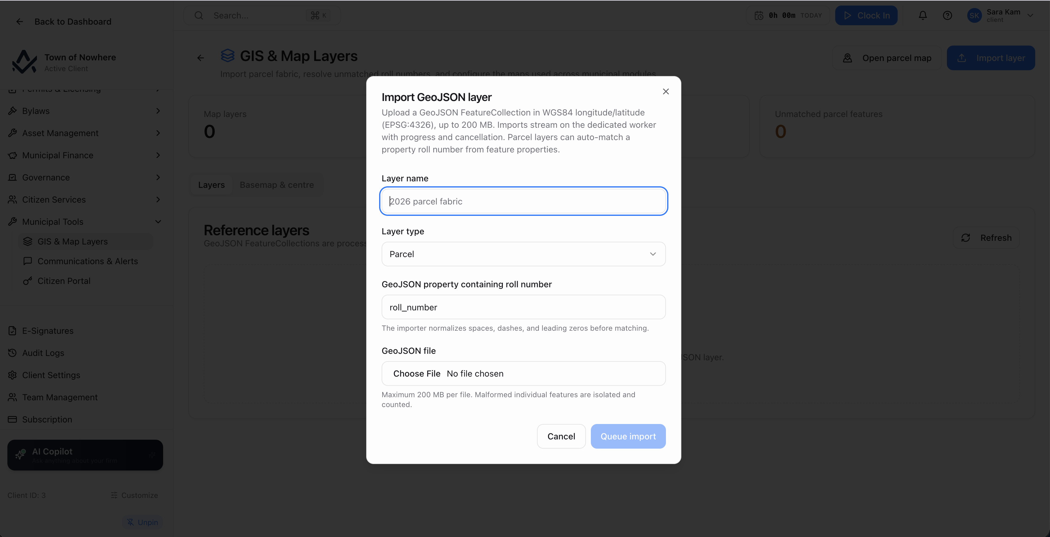
Imported layers, feature counts and the unmatched-parcels list that closes the gaps.
Map settings. XYZ tile URL, attribution text, default latitude and longitude, and a default zoom from 1 to 19. The shipped default is a free, government-hosted Canadian base map.
Reference layers. Import a GeoJSON file as a named layer of kind parcel, zoning, ward or custom. Imports can be cancelled mid-run, and layers can be deleted.
Parcel matching. A parcel layer is matched to properties on a nominated GeoJSON property containing the roll number. The layer view then shows the feature count and an unmatched-parcels list, with a manual link-parcel-to-property dialog searching by roll number or address.
Geometry per feature. Seven feature types carry geometry, each gated on its own module: property units, assets, bylaw complaints, bylaw infractions, service requests, cemetery plots and cemetery sections.
Spatial queries. A nearest lookup and a bounding-box features query power map interaction, which is what makes duplicate detection on 311 reports and location picking on permits work.
Also included
Five maps, each inside the module that needs it
Each map is a working screen inside its module, not a separate GIS product staff have to learn.
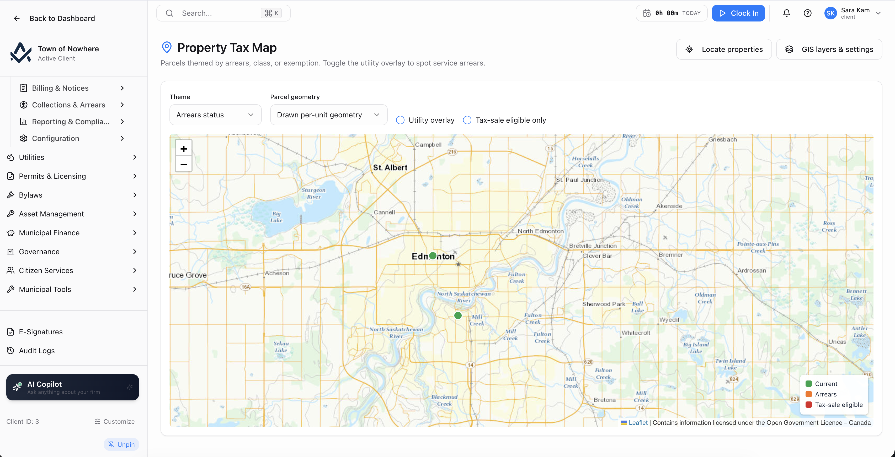
The asset network themed by condition, with length derived from the drawn line.
Bulk location management. A property locations manager lists properties needing a location, already located, or all, accepting latitude and longitude entry or map placement.
Gated per module. Each map appears only when both GIS and its own module are licensed, so a municipality without Utilities never sees the utility overlay.
| Map | Where it lives | What it does |
|---|---|---|
| Parcel map | Property Tax | Three themes covering arrears status, assessment class and exemption, plus a utility-service overlay. Geometry comes from an imported parcel layer or per-unit drawn geometry |
| Asset network map | Asset Management | Themed by condition or category, with a geometry editor and a Set asset length from the drawn line action that computes a linear asset’s length from its geometry |
| Permit map | Permits & Licensing | All permits plotted, with a location picker to set or correct a permit’s coordinates |
| Enforcement map | Bylaws and Permits | Bylaw complaints and infractions plotted geographically. One shared screen reachable from either menu |
| Cemetery map | Citizen Services | Sections and plots with a section filter, a generate-grid tool that creates a plot grid from a section’s geometry, and the ability to merge adjacent plot cells into one larger plot |
Also included
GIS and mapping questions
Not for the workflows in the platform. The mapping layer is a foundation inside Awditify: you configure a base map, import GeoJSON layers and match parcels to properties, and the module maps read from it. If your municipality already runs a provincial ortho or parcel tile service, you point the base map at that instead of the default.
You nominate the GeoJSON property that contains the roll number when importing a parcel layer, and matching runs against your property register. The layer view then lists unmatched parcels, and a manual link dialog lets you attach a parcel to a property by searching roll number or address.
Properties can still carry a location. The property record holds latitude and longitude, an Edit location action opens a map picker, and a bulk property locations manager lists which properties still need one. Per-unit drawn geometry also works as a source for the parcel map.
Yes. The nearest lookup and bounding-box query behind the map drive duplicate detection on public 311 reports, location picking on permits, day routing for inspections, and the length calculation on linear assets.
GIS and mapping is included in the standard municipal tier alongside communications and alerts, the citizen portal and public 311. Details are on the pricing page.
The rest of the platform
Every module posts to the same ledger, so these are not integrations. They are the same system.
Property tax
Property Tax
Assessment roll, mill rates, notices, collections, arrears, penalty rules, tax sales and certificates.
ExploreAsset management
Asset Management
PS 3150 registry, amortisation, disposals, infrastructure, fleet, work orders and capital planning.
ExploreCitizen services
Citizen Services
Service requests that become work orders, recreation registration, facility bookings and cemetery records.
ExplorePermits & licensing
Permits & Licensing
Six permit categories with applications, inspections, day routing, contractors and plan review markup.
ExploreBylaws & enforcement
Bylaws & Enforcement
Registry, complaints, violations, tickets, fines, appeals, payment plans and a late-fee rules engine.
ExploreBring a parcel layer and see it matched
Send a GeoJSON export from your existing GIS. We will import it, match it to a property register and show the arrears theme running over it.